History, territory and legal status of El Ajial National Reserve — from its owner's vision in 1993 to its reclassification into Chile's National System of Protected Areas in 2026.
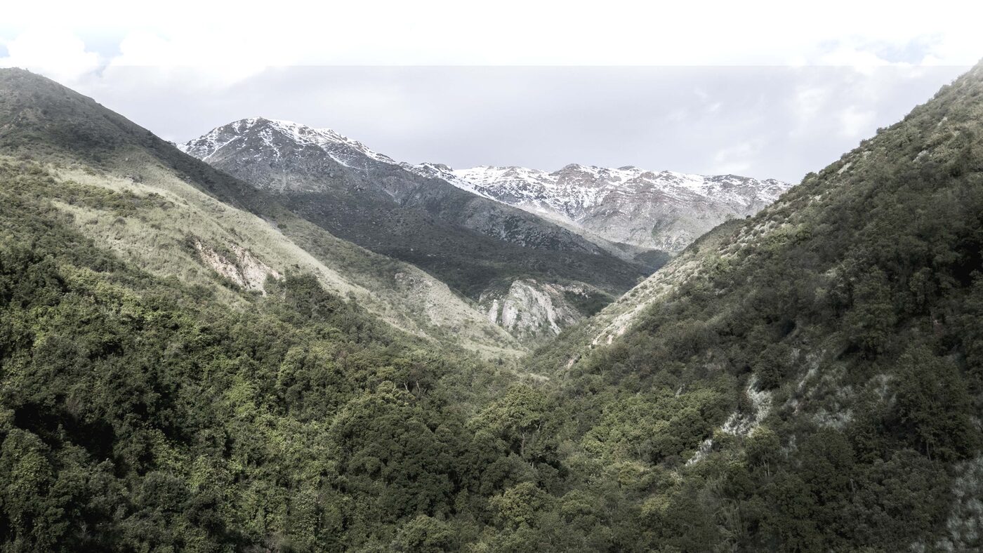
El Ajial National Reserve is a Private Protected Area within Chile's National System of Protected Areas (SNAP). Located in the Paine municipality, Metropolitan Region, it encompasses 2,134 hectares of Andean piedmont ranging from 700 to 2,500 meters above sea level.
It lies within the Mediterranean sclerophyllous forest ecosystem, one of the world's 35 biodiversity hotspots. It belongs to the Southern Boundary Priority Site (Angostura) and serves as a critical biological corridor between Río Clarillo National Park and the Altos de Cantillana Natural Reserve.
This private protected area was born from the long-term vision of Andrés Pérez Cruz and his family. Owner of the property since 1993, he was captivated by its landscape, forests, mountains and stream, and from the beginning protected the environment with the conviction that a productive project could coexist with conservation.
In 2011, together with Andrés Pérez Peric (today the Foundation's Executive Director) and a consulting ecologist, a technical assessment was carried out — walking the entire estate from 700 to 2,500 meters, identifying species and ecosystem services. That fieldwork laid the groundwork for the Technical Report that led to its designation as a Nature Sanctuary in 2016.
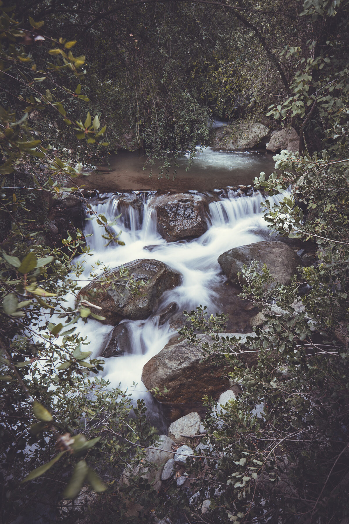
The reserve lies on the southern boundary of the Metropolitan Region, on the foothills of the Andes, within the Paine Stream sub-sub-basin and the El Ajial ravine. Its Huelquén and Chada accesses are at 700 m a.s.l., rising up to 2,500 m on the ridges culminating at Cerro San Francisco.
The reserve holds the Pucará El Peral, a pre-Hispanic Inca archaeological site protected under a specific Cultural Use zone. Together with the Chada ruins nearby, this heritage is safeguarded in coordination with Chile's National Monuments Council.
National Reserve recognized by exempt Resolution No. 1,012 of the Ministry of the Environment, dated 27 February 2026, under Law No. 21,600. Successor to the Nature Sanctuary established by Supreme Decree No. 4 (2016). Under the non-regression principle, its boundaries, surface area, and protected elements remain fully intact.
This reclassification allows us to keep dreaming and acting for a healthier and more vibrant territory for future generations.Andrés Pérez Peric · Executive Director
462 species recorded, 37 in threatened categories. Discover the flora and fauna we protect.
View biodiversity