Monitoring at altitude
Research

Continuous science at the service of the territory

A permanent camera-trap network, surveillance patrols and a baseline validated against the official RCE list sustain the monitoring of the conservation targets. The reserve is open to research with the administration's authorization.

Monitoring

Four permanent fronts of work

The Management Plan measures the condition of each conservation target with indicators the permanent team records on its regular patrols and with the camera network that already exists. The baseline of each indicator is set in the first year of the Plan.

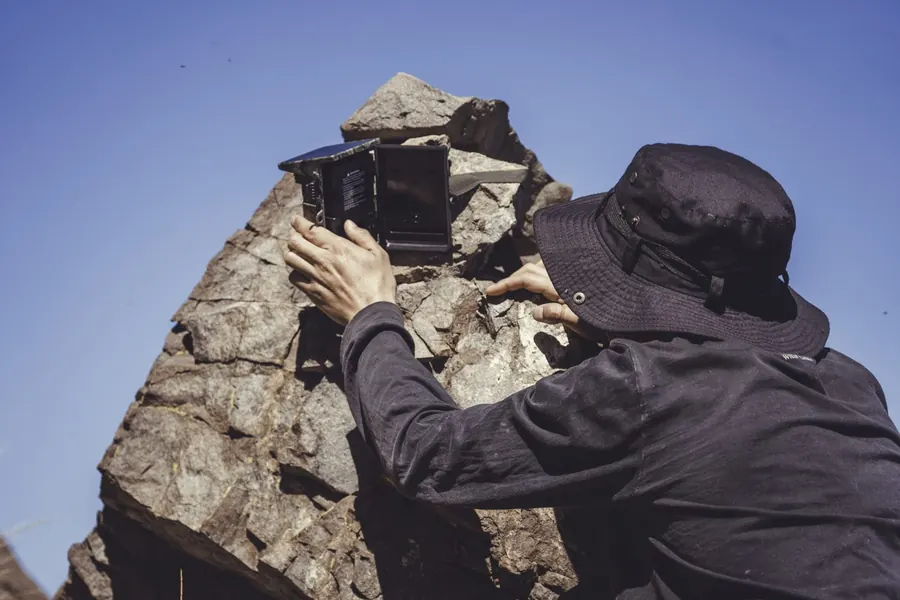
Camera trap set in the forest

Camera trapping of mesocarnivores

A permanent network of stations across every belt of the area. The colocolo cat (Leopardus colocolo) is the umbrella species: its record per station and season is the indicator for the fauna target. The same network records feral dogs and cats per 100 camera-nights.

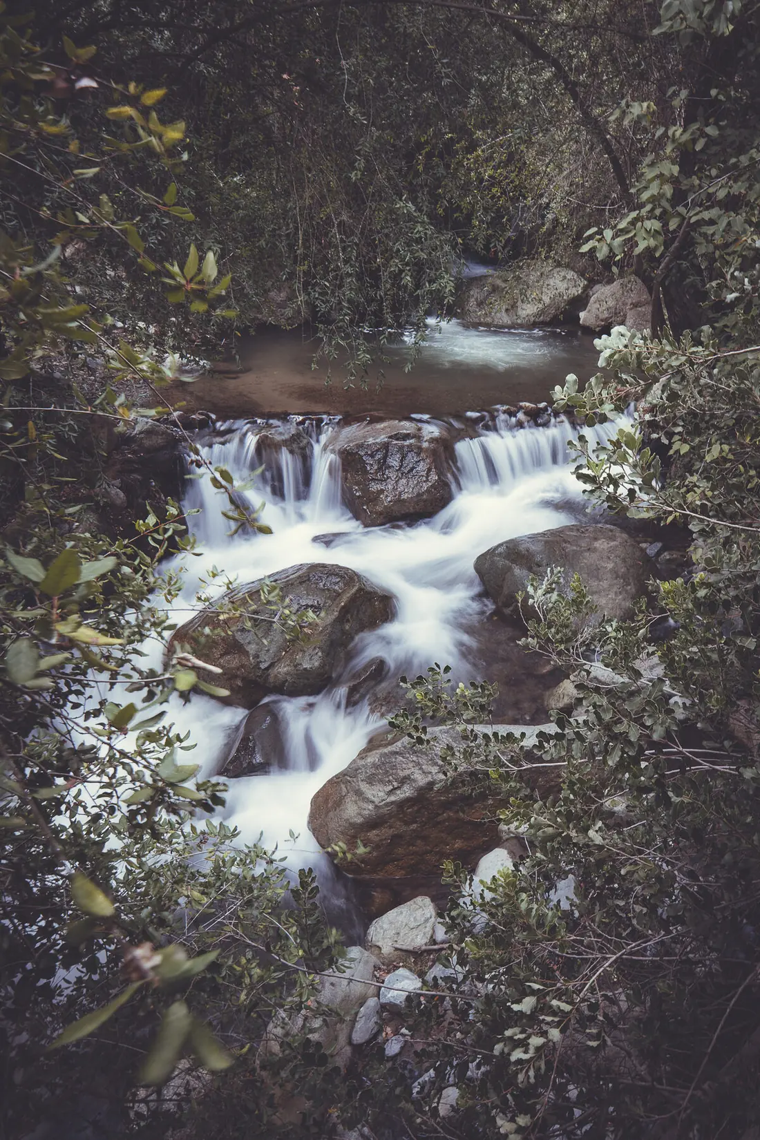
El Ajial stream

El Ajial stream and Aegla papudo

Fixed points for the presence of the Critically Endangered freshwater crab and for surface flow in the low season. The area's two Aegla species are the best available bioindicator of water quality.

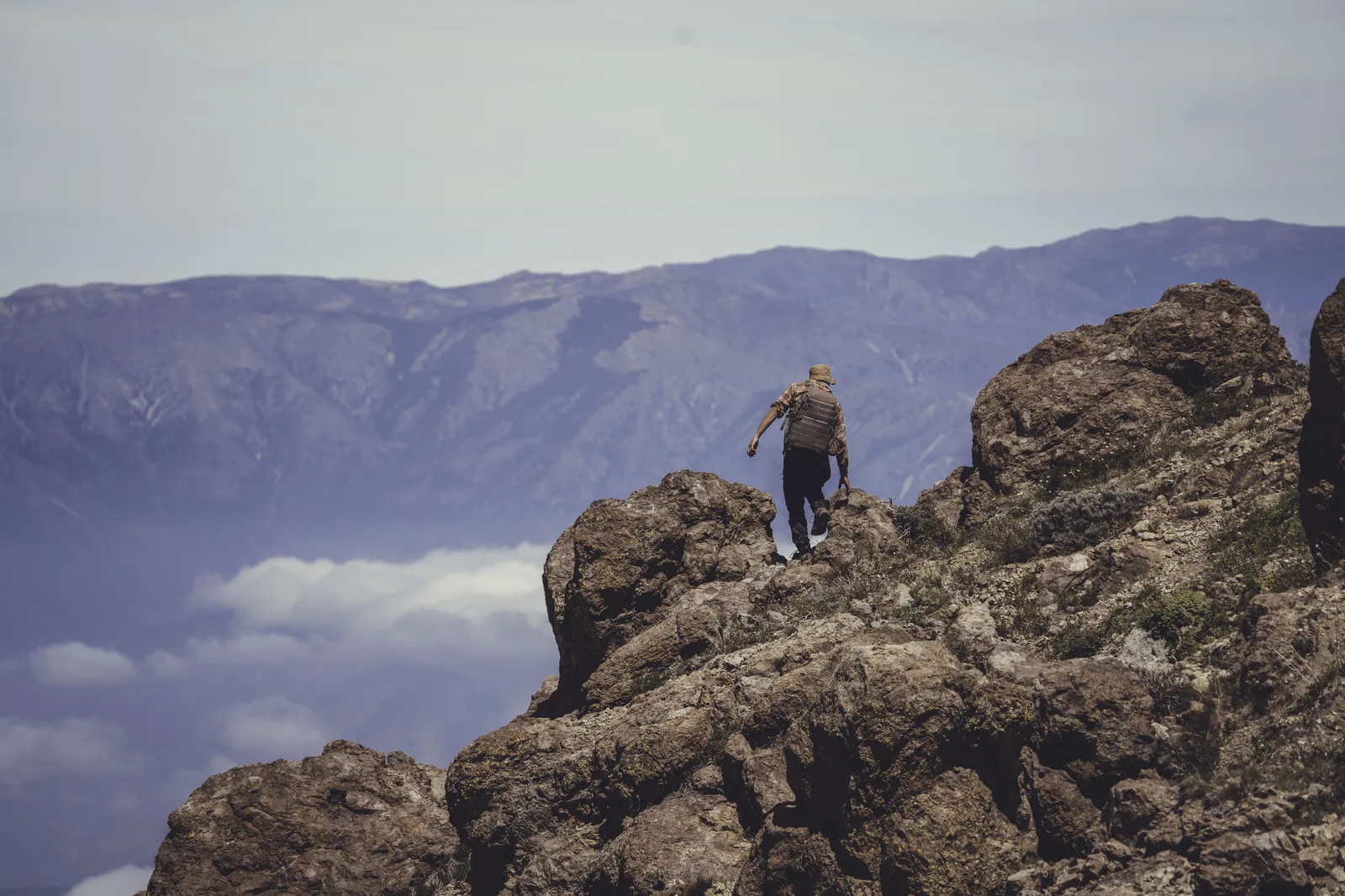
Rocky environment of the upper sectors

High-Andean herpetofauna

Annual record of the volcano gruñidor (Pristidactylus volcanensis) in its sector, together with the rock and high-elevation reptiles: Phymaturus darwini, Liolaemus leopardinus, L. schroederi and L. gravenhorstii.

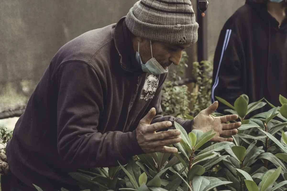
Nursery

Cover, soil and restoration

Vegetation cover of the area by NDVI from Sentinel-2 imagery (98.2 % in February 2026), fixed erosion points, hygrophilous forest extent re-traced by spectral signature and survival of the plantings.

Records of the first order

Two species that change the map

Two of the Reserve's own records, verified and documented in the Management Plan. Presence and vegetation belt are declared, not location: publishing the point of a threatened population exposes it to illegal extraction.

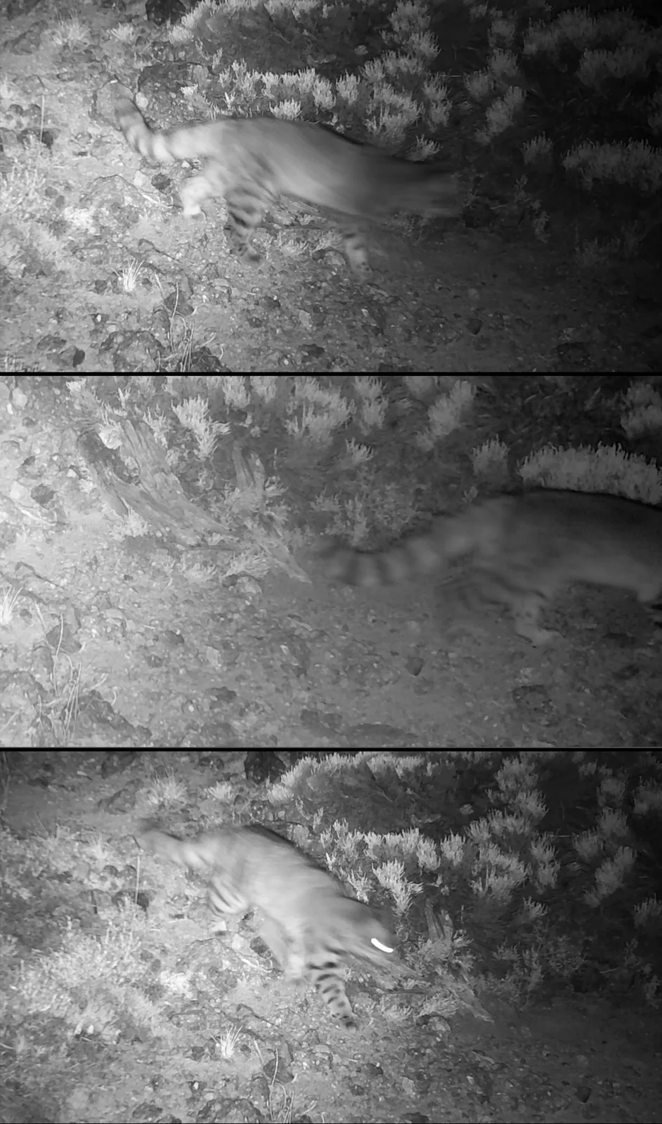
Composite of the first Andean cat record at El Ajial, captured by camera trap
Camera-trap station · 6 July 2022, 00:42 · El Ajial National Reserve archive
Andean cat · Endangered and Rare

First record of Leopardus jacobita in the area

One of the most threatened and least known felids in the Americas. An individual was captured by one of the reserve's camera-trap stations, with date, time and temperature stamped by the device itself. The identification was reviewed by Bernardo Segura, a specialist in the species who supports the reserve's permanent monitoring.

The record is consistent with recent literature, which has shifted the species' known range southward and to lower elevations, and it is the southernmost known within the Metropolitan Region.

Date
6 July 2022
Method
Camera trap, the reserve's permanent network
Identification
Reviewed on 3 December 2023 by Bernardo Segura
Category
Endangered and Rare (Supreme Decree 151/2007 MINSEGPRES)
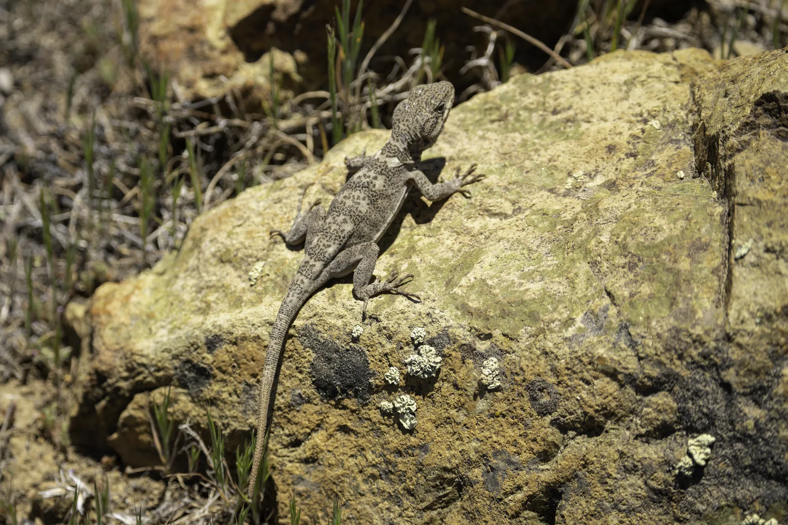
Volcano gruñidor · Endangered

An established population of Pristidactylus volcanensis

Endemic exclusively to the Metropolitan Region, it was known from only two localities: El Volcán, its type locality, and Río Clarillo National Reserve. Its presence at El Ajial was recorded by Bernardo Segura and the species has since been observed repeatedly in the same sector of the high-Andean belt. It is not an isolated sighting: it is an established population, and El Ajial is the species' third known locality.

Its monitoring is one of the indicators of the fauna conservation target: that it keeps being recorded in its sector at least two years in three.

First record
16 March 2022
Author
Bernardo Segura
Habitat
Rock outcrops and low-vegetation slopes of the upper sector
Category
Endangered (Supreme Decree 38/2015 MMA)
Volcano gruñidor photographed in the reserve
Own photograph · high-Andean sector · El Ajial National Reserve archive
Also of the first order. Aegla papudo, the freshwater crab of the El Ajial stream, moved from Endangered to Critically Endangered in the 18th classification process (Supreme Decree 10/2023 MMA). It is the highest category in the Chilean system and the only CR species in the area whose official distribution includes the Metropolitan Region. Its persistence at El Ajial is of national conservation value.
What remains unknown

Gaps that invite research

El Ajial holds 30 % of the classified species with distribution in the Metropolitan Region and three in four of the region's classified mammals. Representativeness is high for terrestrial vertebrates and medium for plants and birds, but whole groups remain unsurveyed.

  • Mammals19 of 25 · 76 %
  • Reptiles14 of 24 · 58 %
  • Amphibians4 of 10 · 40 %
  • Birds17 of 48 · 35 %
  • Plants27 of 91 · 30 %
  • Invertebrates5 of 32 · 16 %
  • Fish1 of 9 · 11 %
  • Fungi and lichens2 of 56 · 4 %

Classified species with distribution in the Metropolitan Region according to the RCE list (20th process) present at El Ajial. Fungi and lichens are 19 % of the regional list and the area has no mycological baseline: its first four records, two of them RCE-classified, date from 3 November 2026. Invertebrates, fish and high-elevation amphibians are under-sampled.
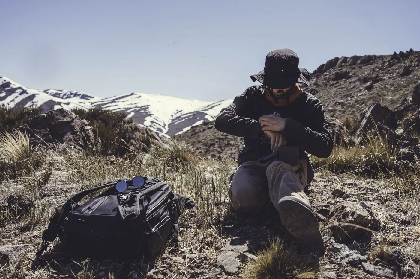
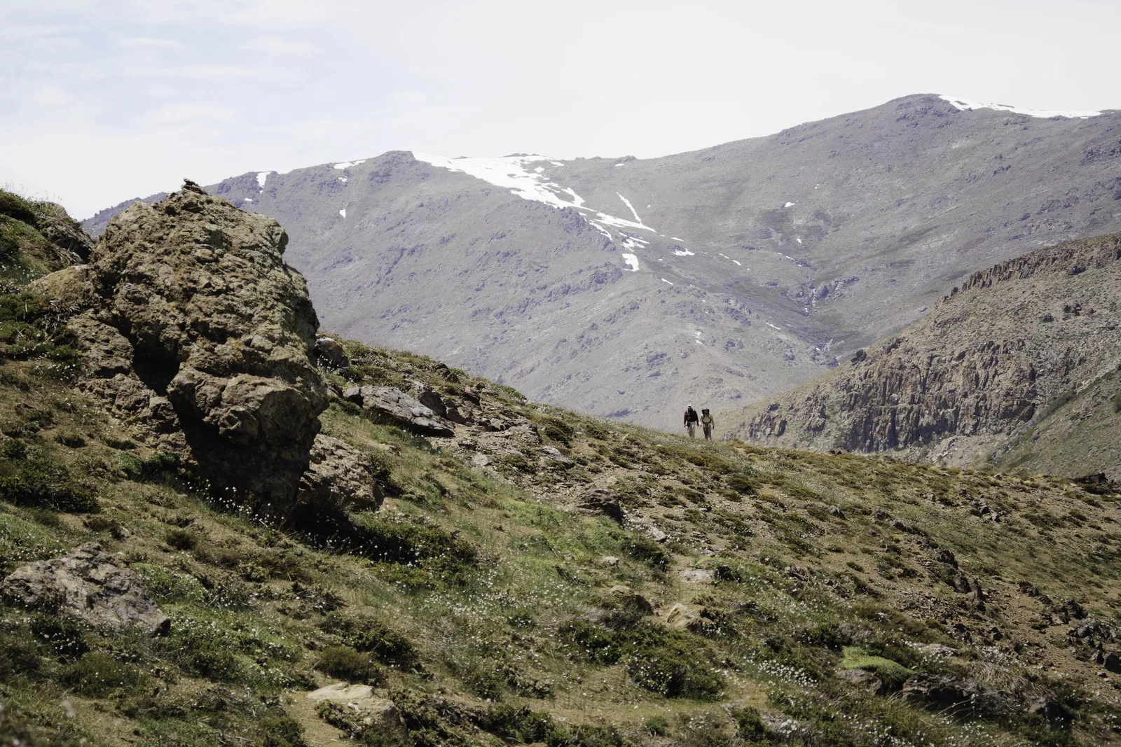
Surveillance trails in the Andean sector of the reserve
Surveillance trails · 42.3 km

Research permit requests

Researchers, academic institutions and organizations interested in conducting studies within El Ajial National Reserve may request authorization from the administration by writing to vitia@elajial.cl or through the contact form. Authorizing and registering scientific research is a core activity of the Management Plan, with the location of sensitive species withheld.

All research must align with the objectives of the Management Plan and with the regulations of the Biodiversity and Protected Areas Service. Please include in your request:

  • Lead researcher(s) and institutional affiliation
  • Project summary, scientific objectives and the conservation target it contributes to
  • Methodology, planned sampling zones and, where applicable, intended collection
  • Estimated duration and current permits (SAG, CONAF, SBAP, National Monuments Council)
  • Commitment to deliver results to the Foundation for the Plan's monitoring

Contact the technical team